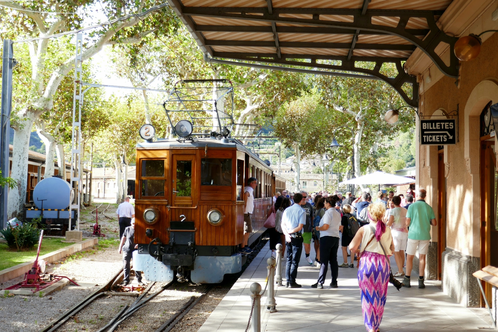
The three-foot gauge Tren de Soller was established in 1912 to connect Palma with Soller on the far side of the mountains in the west of Mallorca, although the current train sets date from 1929. A pleasant walk through the city brought me to the Ferrocarril de Soller station at Plaça d'Espanya, adjacent to the main Mallorca transport hub.
Ensconced in a single wood-slat seat in the first/engine car, a family with 2 kids sat across from me. They said the train had sold out, and they had secured tickets, but their friend had not; they would meet their friends later. The couple was living in Denmark; she was Polish, he Cuban. They spoke English to each other.
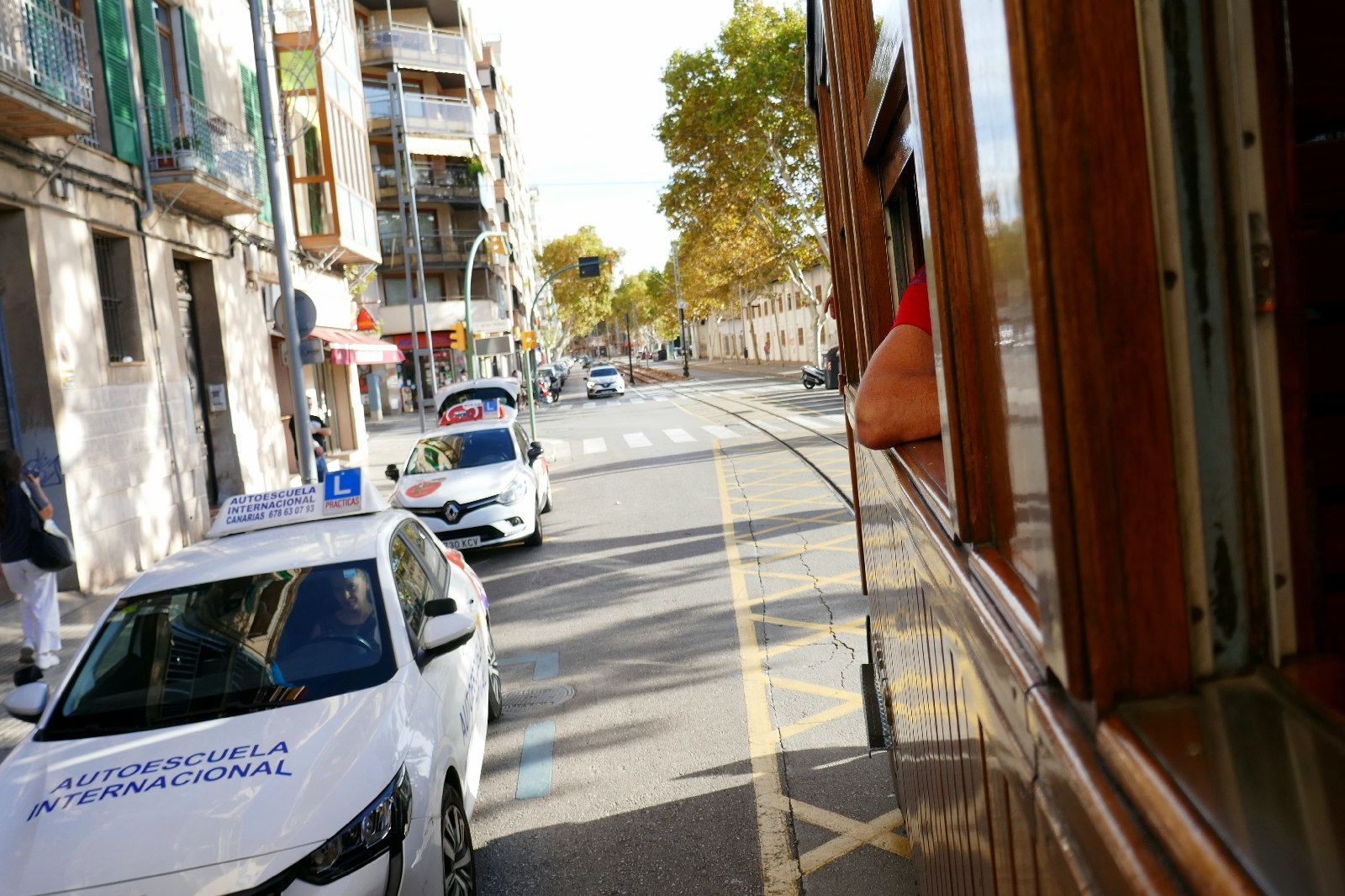
The train rolled through the streets of Palma before joining its own right of way. The climb began after about 20 minutes,. A long tunnel signaled the line's summit (1). The train stopped for a few minutes at a station high above Soller to permit the Palma-bound train to pass, and we all got out to enjoy the view. Descending through multiple switchbacks, the train arrived on time at Soller.
The train connects to a tram proceeding about 4 miles further to the sea at Port de Soller. I was planning to hike either at Soller or at the port. The mobbed tram (2) seemed to suggest staying to hike in Soller, until another pulled right behind and left almost empty (except for me and a few others), passing through the town center and wandering on and off the streets on the way to the Port.
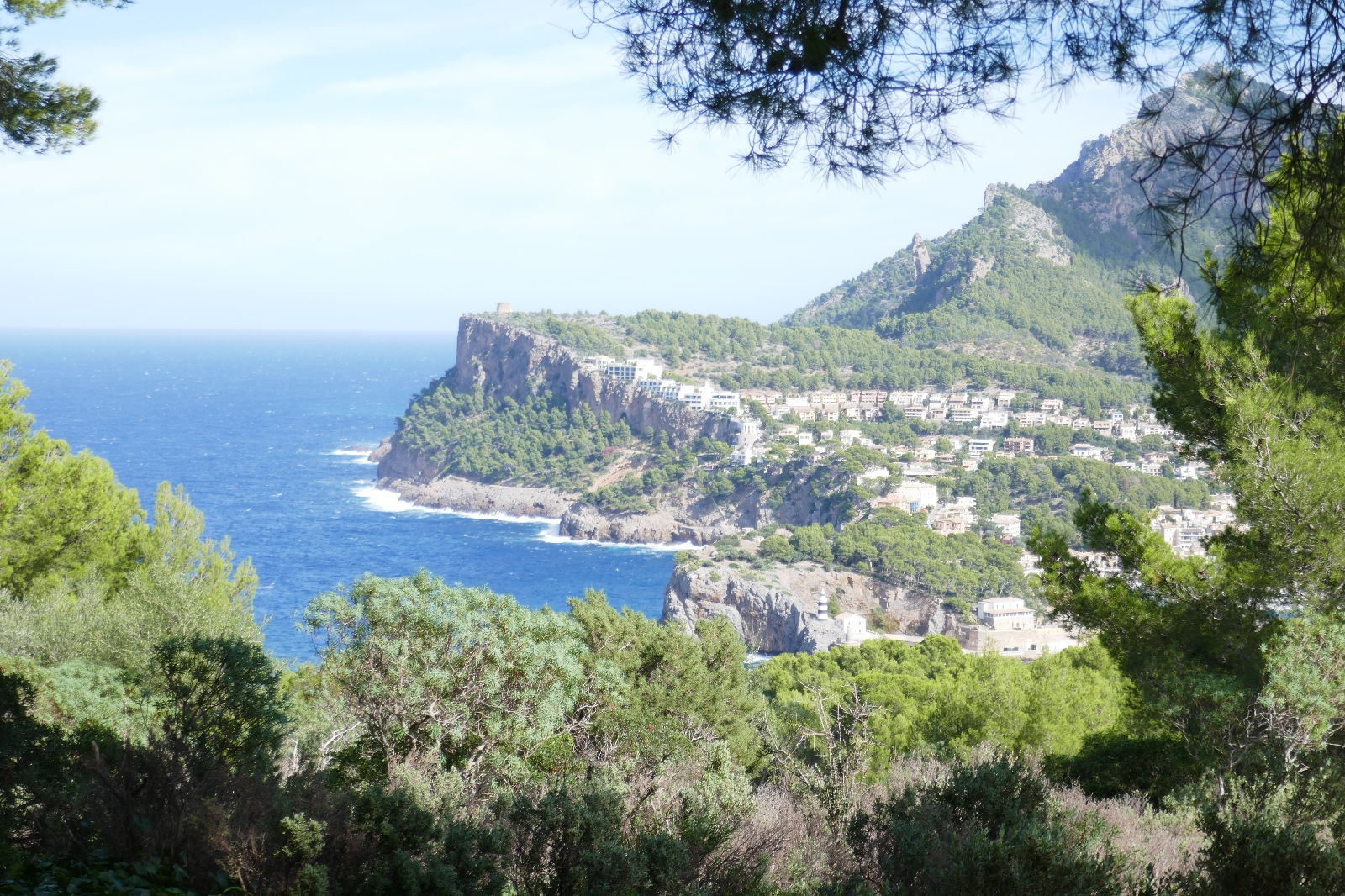
The entrance to the small harbor here has a lighthouse to both port (black striped, close to sea level) and starboard (white on a bluff above the channel). A hiking map bought in Palma (3) indicated a network of trails behind La Far (4) de Cap Gros. After strolling along the mole, a paved road left up the bluff to the Cap Gros lighthouse.
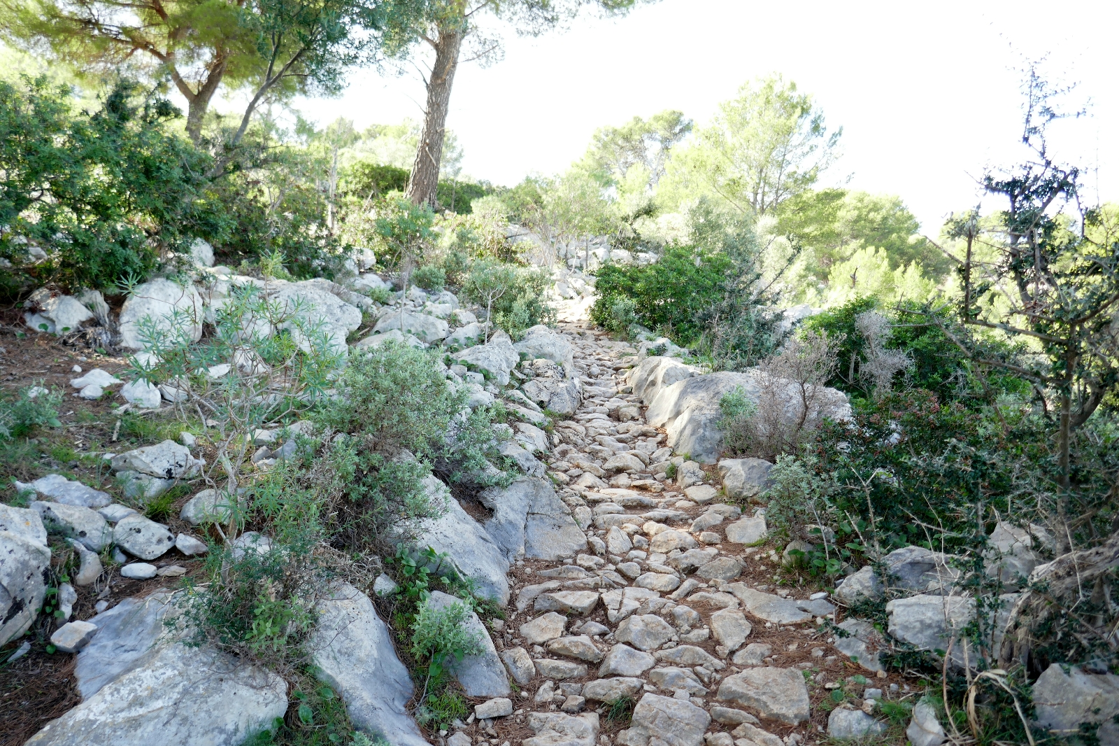
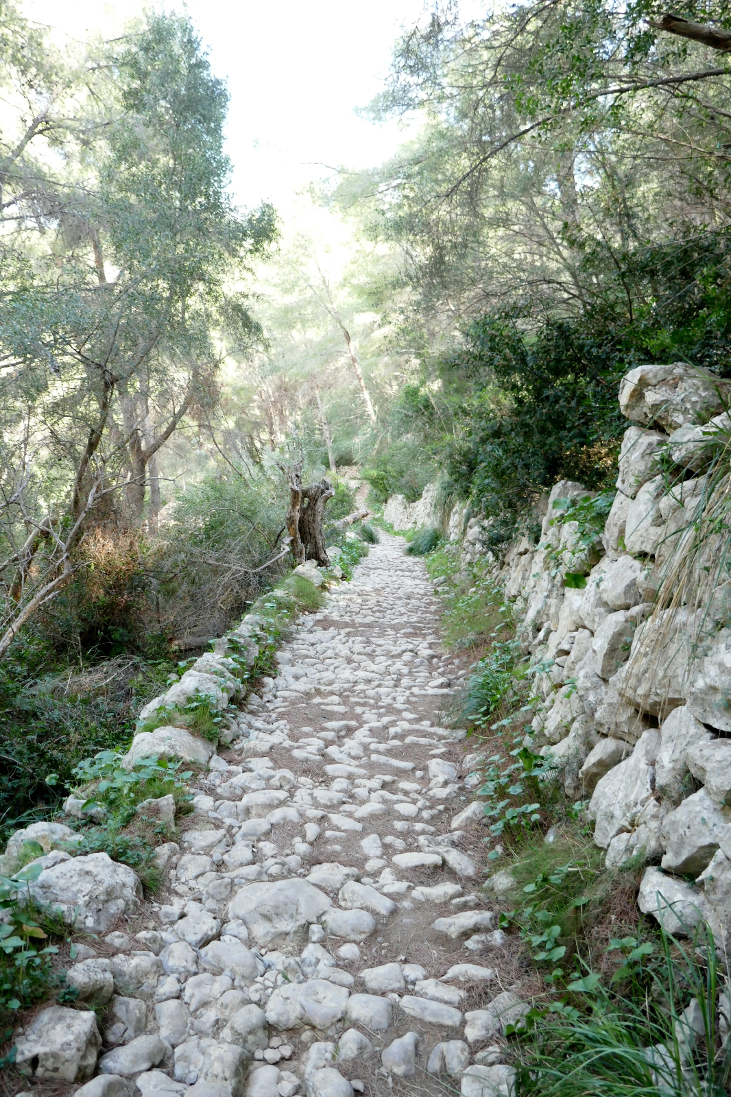
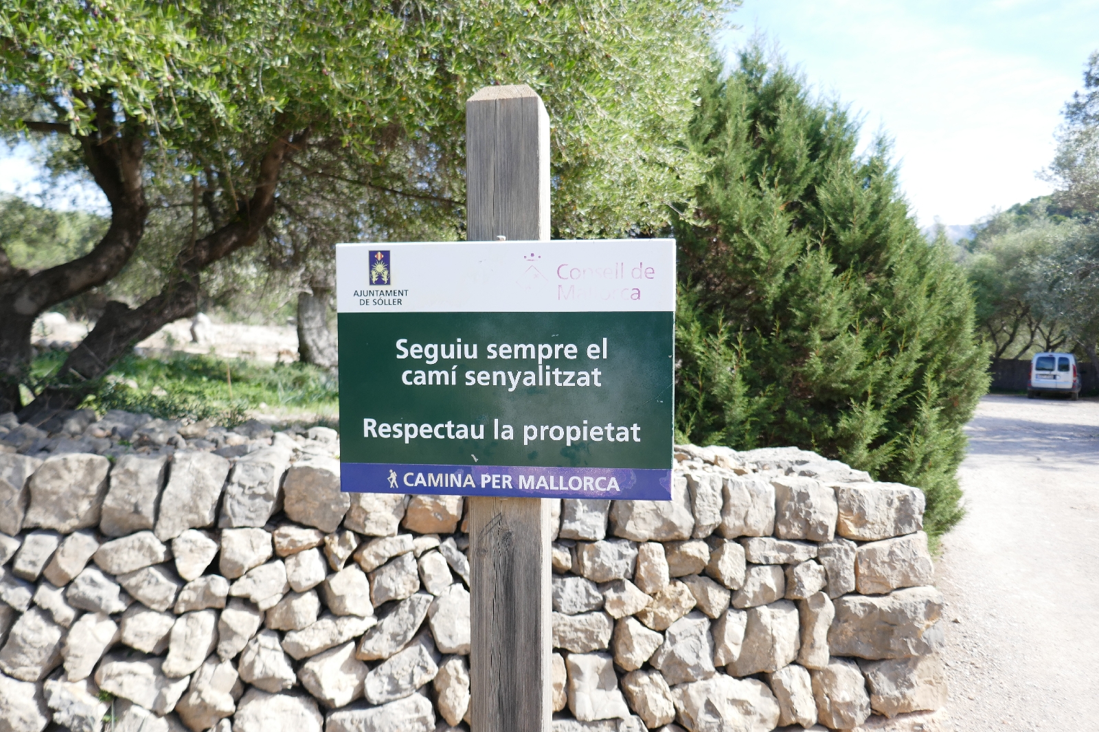
Behind the lighthouse sits the Refugi de Muleta, a mountain hut for long-distance hikers. The GR 221 trail rises further from here, climbing the seaside ridge. The uneven ground and rounded rocks of this well-used trail made me glad I had brought my hiking boots. The trail wandered up the ridge, past pine forests and olive groves, before descending back towards Soller.
At a trail junction, left went toward the Port, while right led to Soller. The Port had a beach and a bar serving Sangria; I took a left. A quick dip in the sea was refreshing on this warm day. The hike was about 4.7 miles with 850 feet of elevation gain.
Having dinner back at Palma, the restaurant host noticed I did not use the spoon to twirl my spaghetti.
"You don't look Italian" he said.
"No, but I married one." I replied.
"Me too, my ex-wife was not just Italian, she was Sicilian," said the German owner of the Italian restaurant in Spain.
(1) As did the easing of the engine halfway through.
(2) The entire trainload (of about 10 cars) of people tried to jam their way onto the 3-car tram.
(3) While the guide was in German (Wanderparadis), the translation was clear and maps are universal.
(4) In many European languages, the word for lighthouse is derived from Pharos, an island at the entrance to Alexandria where a tower was erected in which fires were lit to guide ships to the harbor.

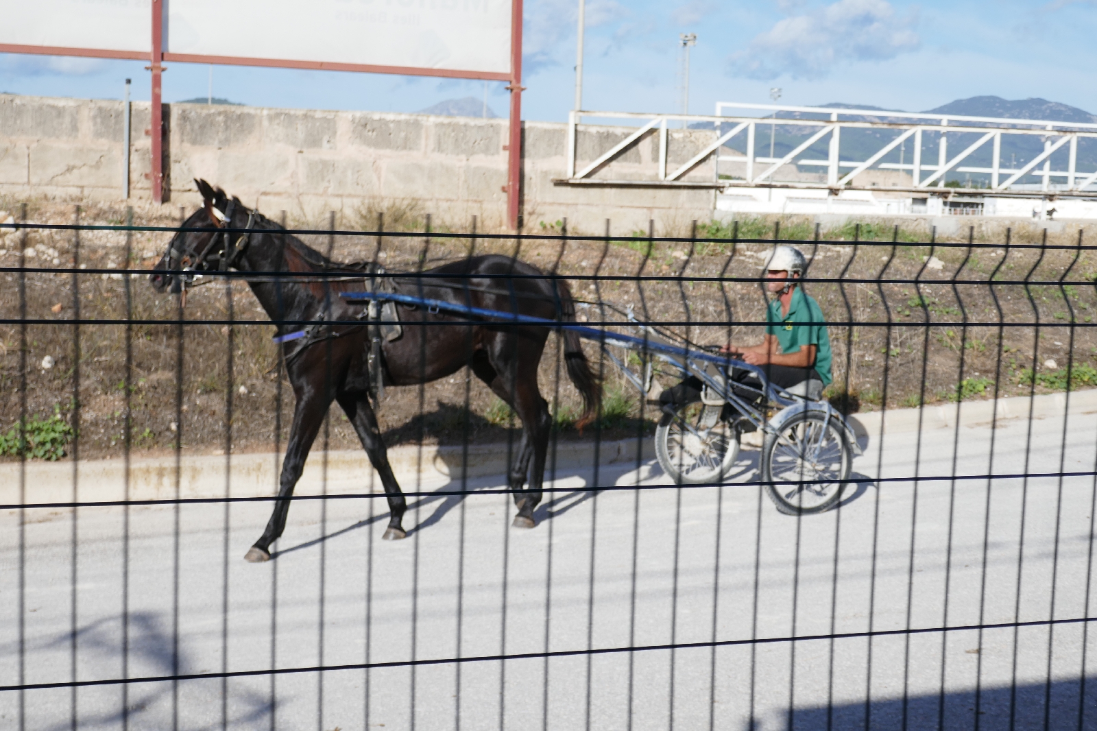
Trackside race course
Beginning the climb. The S stands for Solpar (blow) with the whistle picture next to it.
Climbing
View of Soller after summit tunnel
Arriving at Soller
Through Soller on the tram
Arrival at Port de Soller
View of the harbor entrance from the mole
Striped lighthouse at harbor mouth
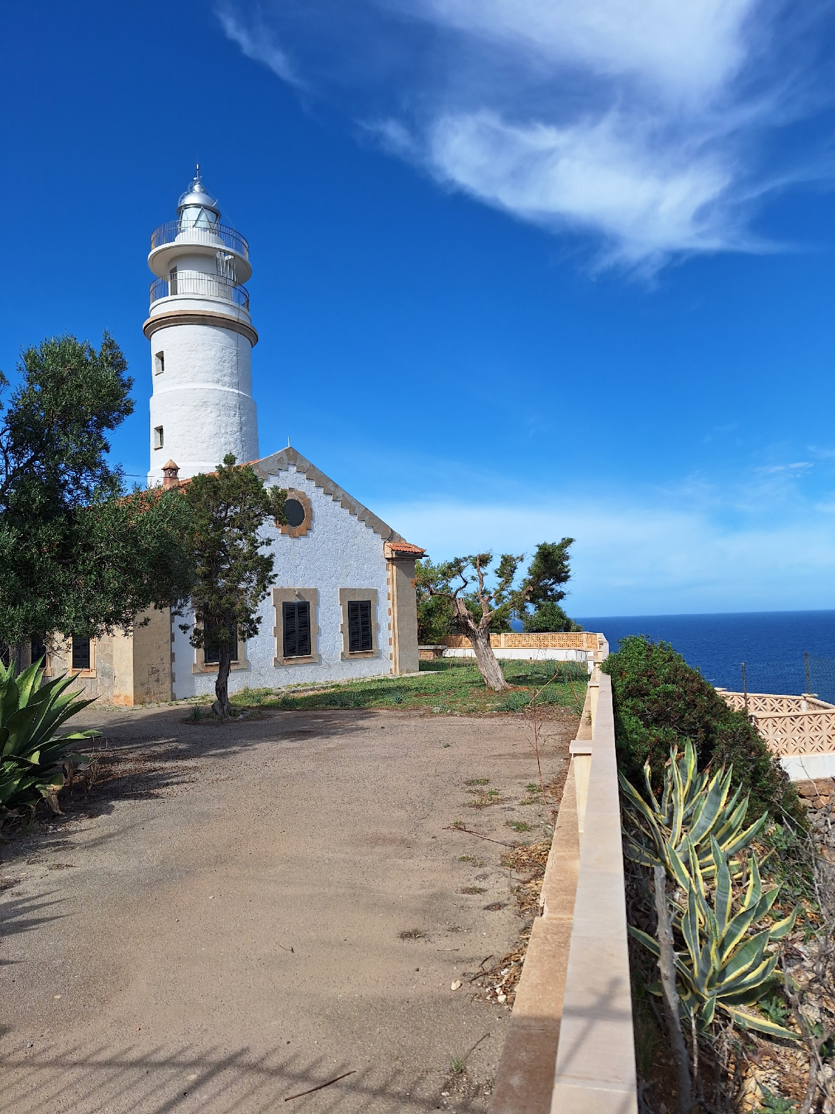
Cap Gros lighthouse. From 1859 to 1944, the lense burned olive oil.
Refugi de Muleta

View from Refugi
On the GR 221 Trail
Fingerpost on trail
Views on the descent
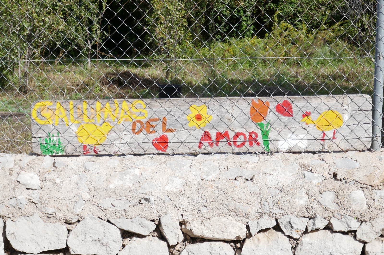
Almost thereHens of love (?)
Instead of cutting the old tree, the road becomes one lane













No comments:
Post a Comment