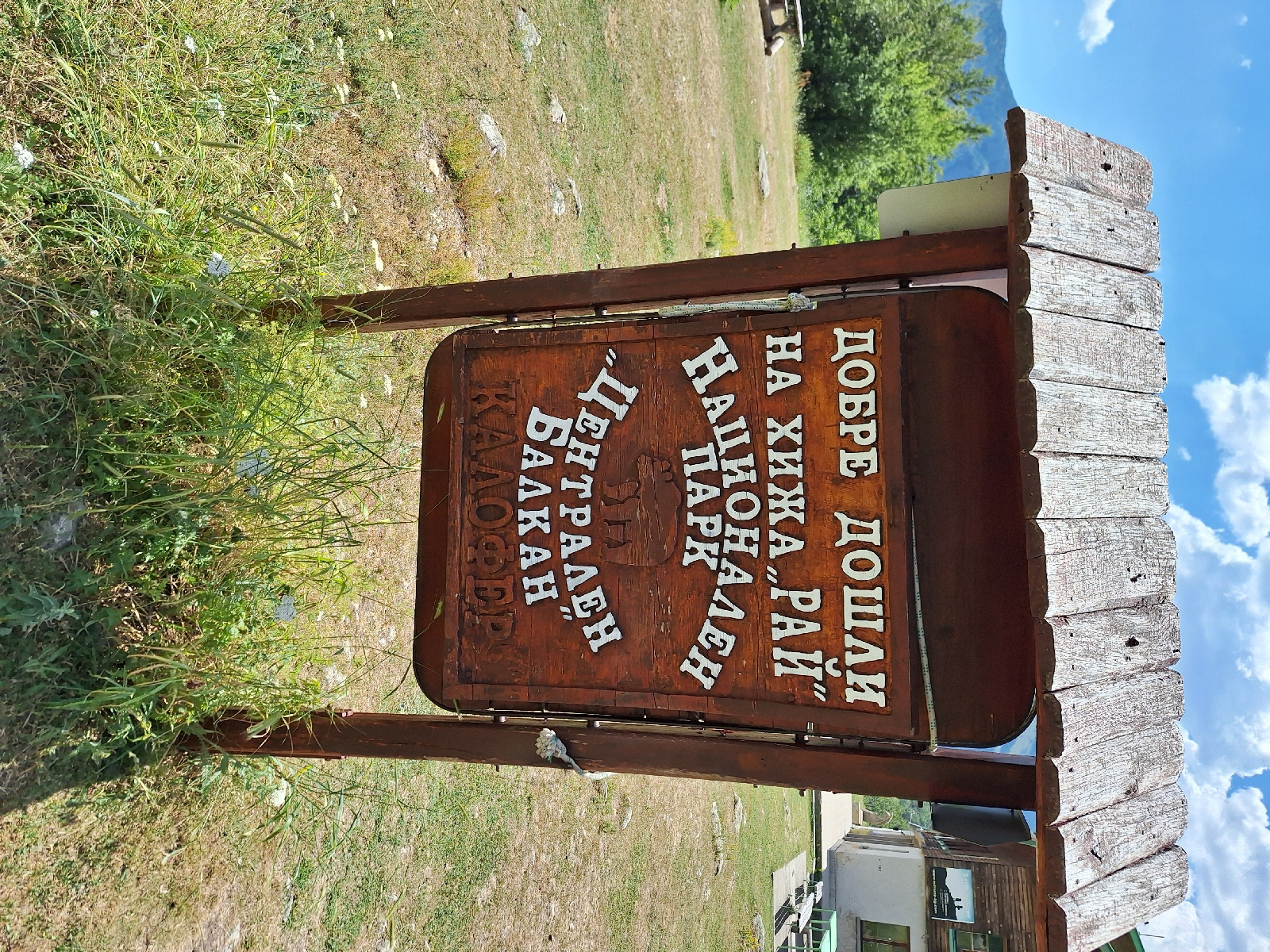
The trail to Rayskoto Praskalo Falls begins quite steeply on a very washed out trail, with a steep ravine at the side; "Uh oh." However, the trail soon moderated and entered the Central Balkan National Park; near the entrance sign were distant glimpses of the cleft in the mountain marking the location of the falls.
The first section was along washed out old roads, before reaching a gently sloping plateau with open meadows. This longer section had yellow and black metal poles, marking the trail during winter. My wife and I had saved our coins because of a post online saying there were vending machines on this section of the trail, which now seemed ridiculous in the middle of a meadow in the national park.
Soon, a fluttering Bulgarian flag revealed a small truck someone had driven here with "beer, coffee, water" written (in Bulgarian) on the side. Solar panels, a satellite uplink for credit card payments, a plethora of USB cables to charge ypur devices, and a picnic table under an awning; all the essentials were there. The drinks were reasonably chilled (1).
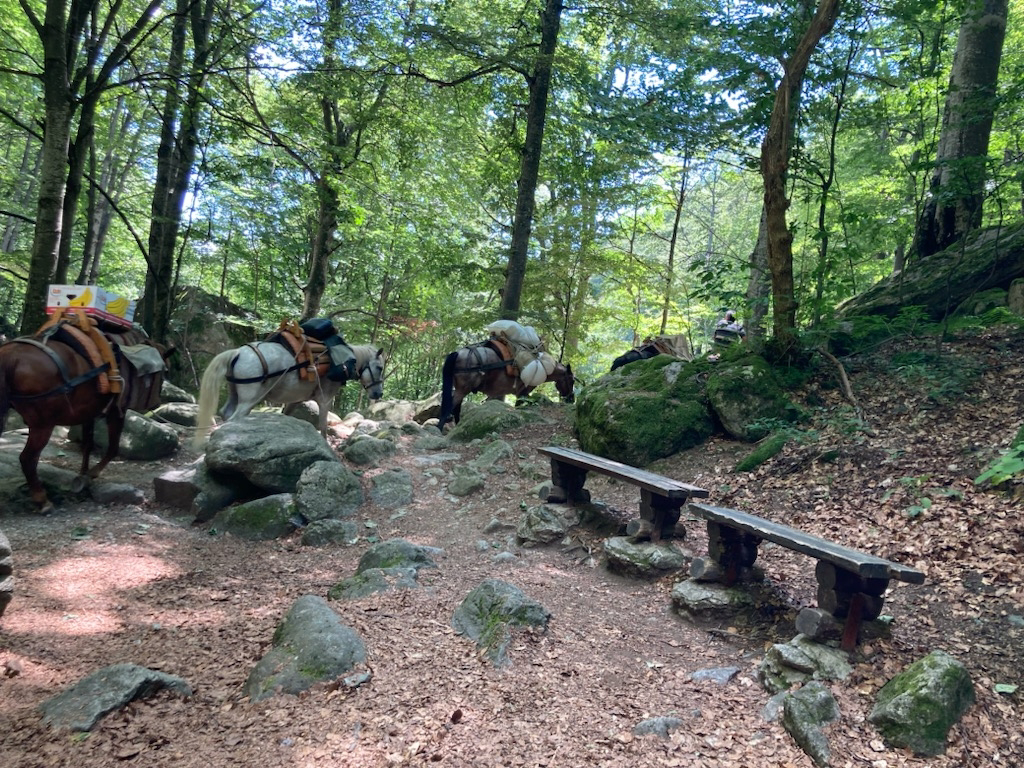
The trail descended into a ravine, clinging to the east side. Cold, clear mountain water flowed from two all-season springs along the trail. Pausing at a bench after crossing the Barovitsa River, a train of horses carrying supplies walked by (2). Shortly thereafter, a laden horse followed by an unloaded horse (with no people leading them) walked calmly on the bridge across the river and up the trail Towering trees in this cool forest mark one of the few remaining old-growth beech forests in Europe
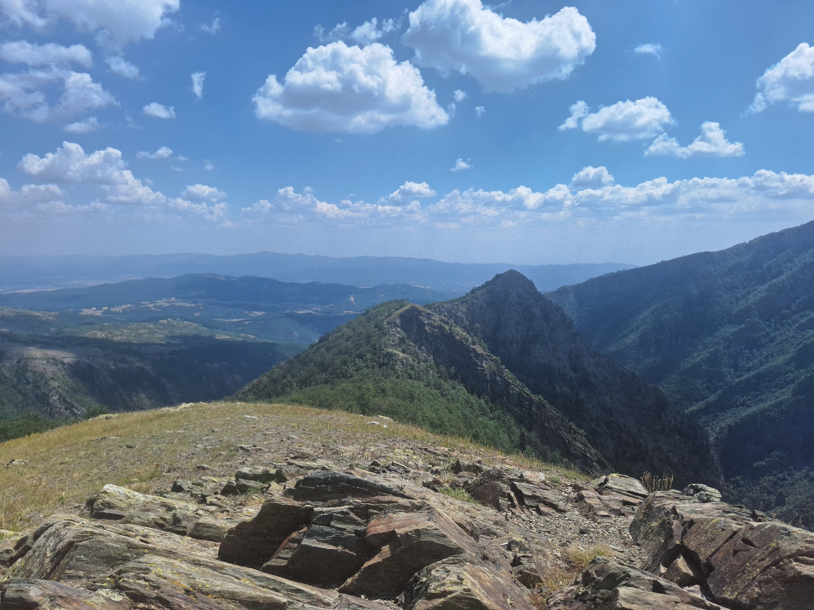
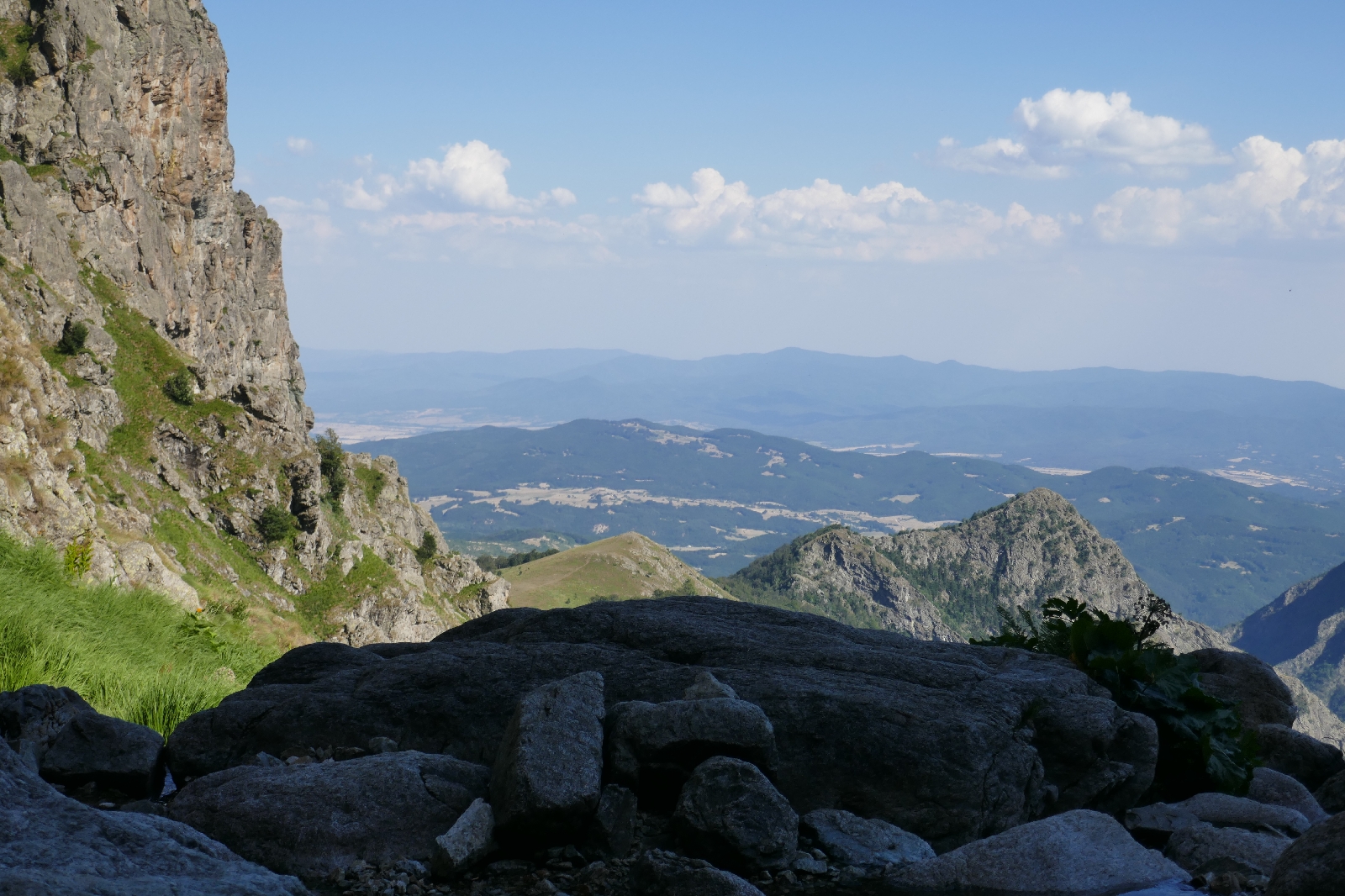
The trail then ascended the steep side of the ravine on a series of switchbacks. A hiker descending told us "only 45 more minutes" (3). Emerging on a high meadow, we detoured to a viewpoint just off the trail offering views to the Falls and to the valley below (4), leaving our bags on the main trail (5). The hut soon appeared after about 6 miles.
Interrupting the hostel manager's smoke/nap/TV soccer game, he handed us some bed linens and showed us our bunks in a common dorm room. After a rest and refreshments in the canteen (6), the base of the falls, high above the hut, beckoned.
We set out (no heavy backpacks) with a fresh bottle of spring water, passing a small chapel, outside of which the horses were watering. Climbing the rocky, exposed trail, we let a 20-something Belgian couple pass us. About 700 feet above the hut lies the pool at the base of the falls. A mild protrusion above the base breaks the fall of the water from 125 meters (about 400 feet) on the cliff above, making the pool quite gentle and refreshing on my feet. The Belgian couple left before us, promising to come rescue us old folks if we weren't back by sundown. Total 3,400 foot gross elevation gain, 1,200 foot descent over 8 miles.
Later at the canteen we offered to share some bread, Bulgarian salami, and cheese with the Belgians. "How nice." "No," my wife replied. "My husband made me schlep all this food up, and I don't want to lug it all back down."
The Belgian couple, Simon and Ella, joined us outside and we chatted as night fell. They had become engaged just a few days ago at a campsite on the banks of the Danube, the only witness to the event being a dog, who seemed unaware of the event's significance, judging by the picture they showed. The couple seemed eager to share the engagement news with someone, as they were waiting until their return to Belgium to tell family and friends.
Hearing English, a man came by, announcing he was from "Hrvatska" (Croatia). Bird watching in the Balkans, Vanya had no tent, but set up a sleeping bag on the tiled porch ("still warm from the sun").
Long after dark, people still arrived at the hut, headlamps announcing their arrival. Someone was setting up a tent at midnight, apparently having set out on the trail toward dusk (7) (8).
Wandering outside after the quarter moon had set and many of the hut's lights turned off (9), revealed a panoply of stars and a deep look unto our milky way galaxy.
(1) Although the coins returned as change were colder.
(2) The beer and food can't carry themselves to the mountain hut.
(3) Thankfully, this figure was to the Falls, not to the Mountain Hut where we were staying the night, which was closer.
(4) The broad valley to the southeast is known as the Valley of the Thracian Kings (a) and the Valley of the Roses (b).
(a) The broad flat valley was the heartland of ancient Thrace.
(b) 80% of the world's rose oil is produced here.
(5) I tend to overpack food and water when heading into unfamiliar mountains, especially on a hot summer day. Temperatures were in the mid to high 80s° F.
(6) Same word in Bulgarian, although spelled Кантин. The staff at the hut spoke only Bulgarian, but there was always a friendly Bulgarian willing to translate.
(7) Sunset here in mid-July is about 9:15.
(8) The next day on our descent, we asked some regular hikers here about this. "There's really only one trail, so you can't get lost." OK, but it seems easy to trip over an unseen rock or root and tumble into a ravine; daytime hikes for me.
(9) A hiking app shows a water-powered generator near the hut.
White cat sat with us at breakfast. For some reason, I knew "White cat" in Bulgarian.
First view of Mt. Botev, from which the Falls descend.
National Park Central Balkans
Sign posts to the hutThe start of the descent to the gorge
Deep in the gorge
Viewpoint near the hut
Arrival at Ray (RAH•ee) Hut
The canteen at the hut
View down to the hut from base of the waterfall
The Falls
Twilight in the Balkans


No comments:
Post a Comment