Tuesday, July 30, 2024

Canoeing on Lake Louise

July 29, 2024

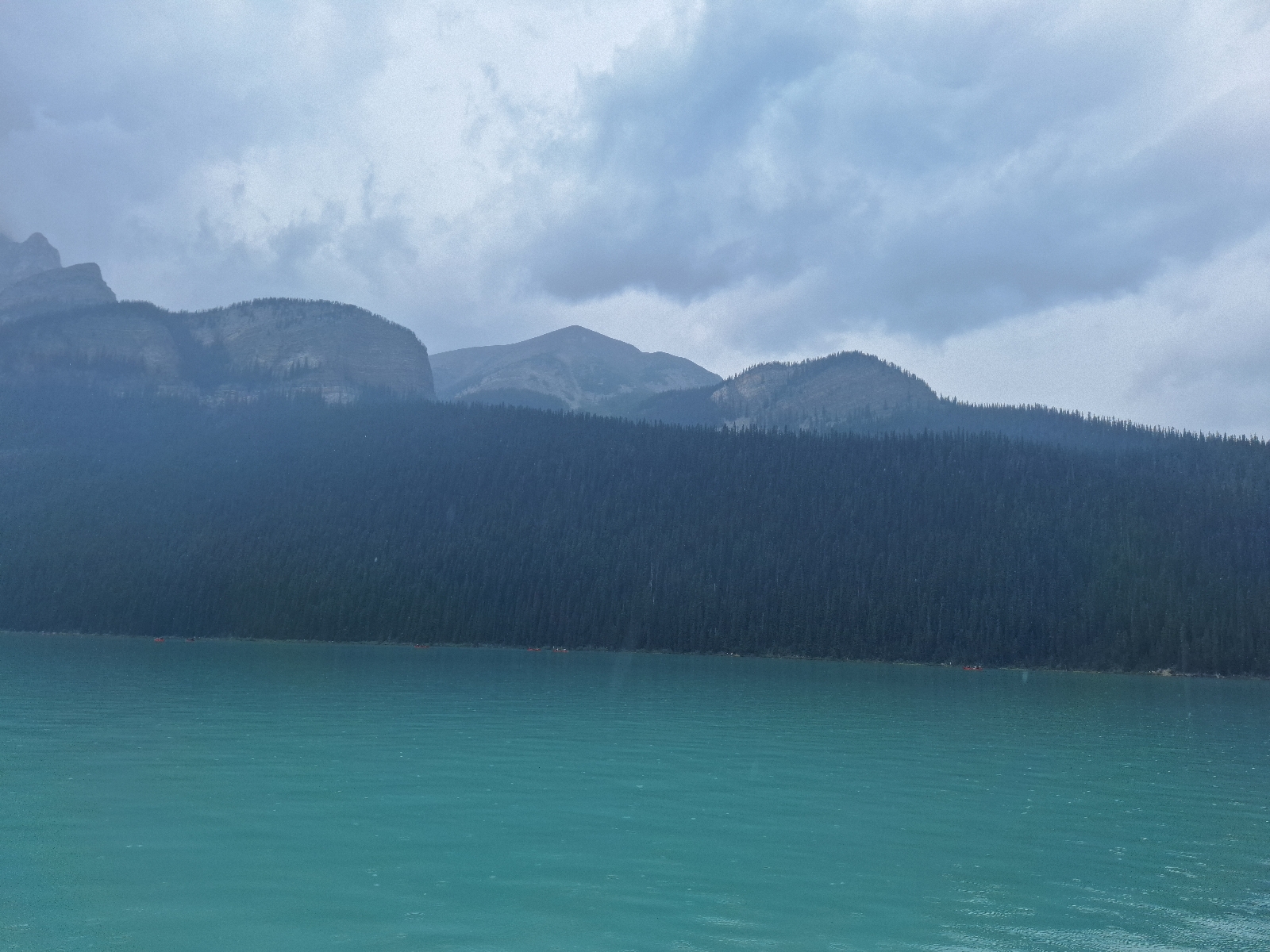
About an hour up the valley from Canmore in Banff National Park lies Lake Louise. The air had a thin layer of smoke from the Jasper fires, which we could smell (1). The lake itself sits about 800 feet above the small town of the same name. The Parks Canada buses to the lake were sold out for the day (1). We knew of a trail from the town to the lake, but parking is limited to 2 hours. The info booth told us that we could park at the ski area (where everybody parks). Then, instead of the $30 sold-out shuttle to the lake, we could hop on the free shuttle to town, then hike up. 

Arriving at the parking lot, there were crowds of people, so we scampered to the shuttle to town. There was one other person on the shuttle; the crowds of people were going for the various paid shuttles to the lake (2). 

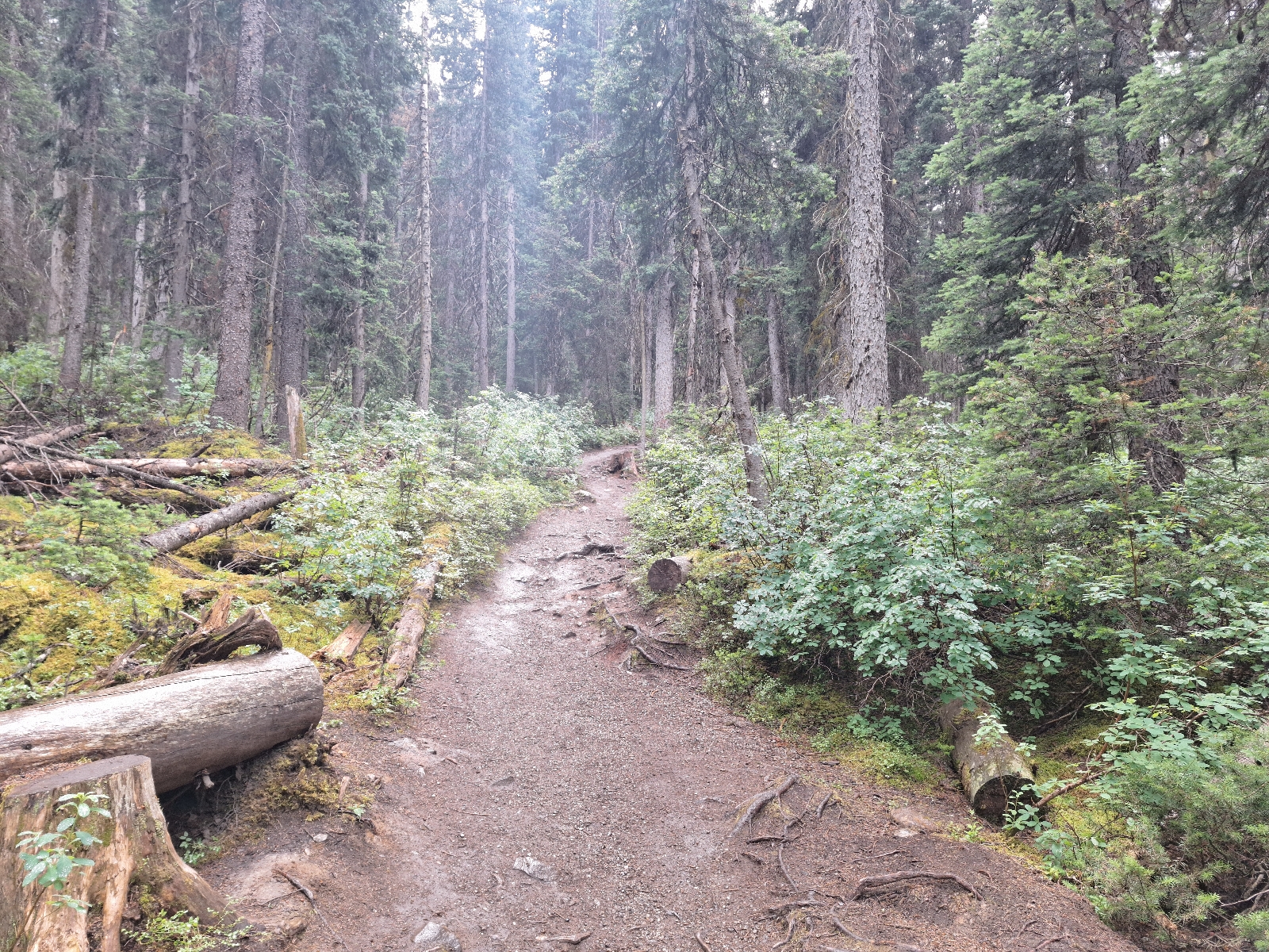
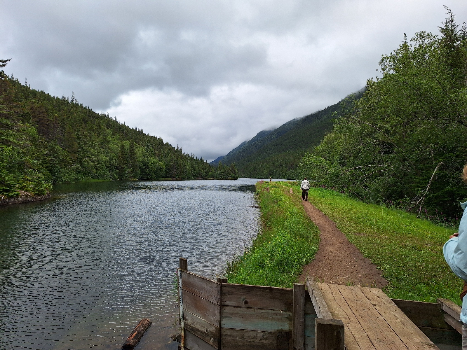
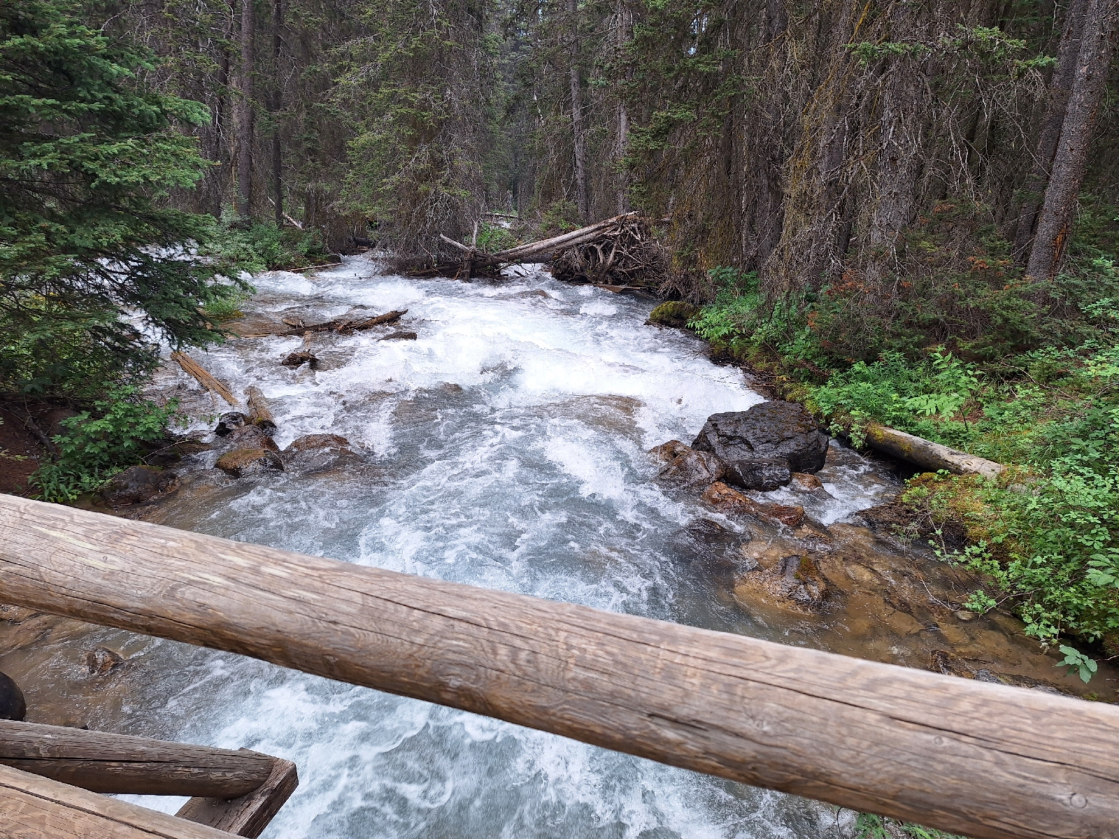
The hike up following the Louise Brook was lovely (3), with the brooks running vigorously down the narrow valley. Unlike the dry riverbeds we encountered yesterday, the lake and outlet brook are fed by glaciers melting on this warm day. The trail was very well-maintained, less than 2 miles long and less than 800 foot elevation gain. We encountered few other people on the trail. Arriving at the Lake, an endless stream of buses (4) disgorged a surfeit of passengers, with upwards of 15,000 visitors a day to the Lake (5).  

Canoe rentals were on offer, so we enjoyed a paddle around the lake on this windless day. The lake water was icy cold and had that pale green color that signals glacial melt. 

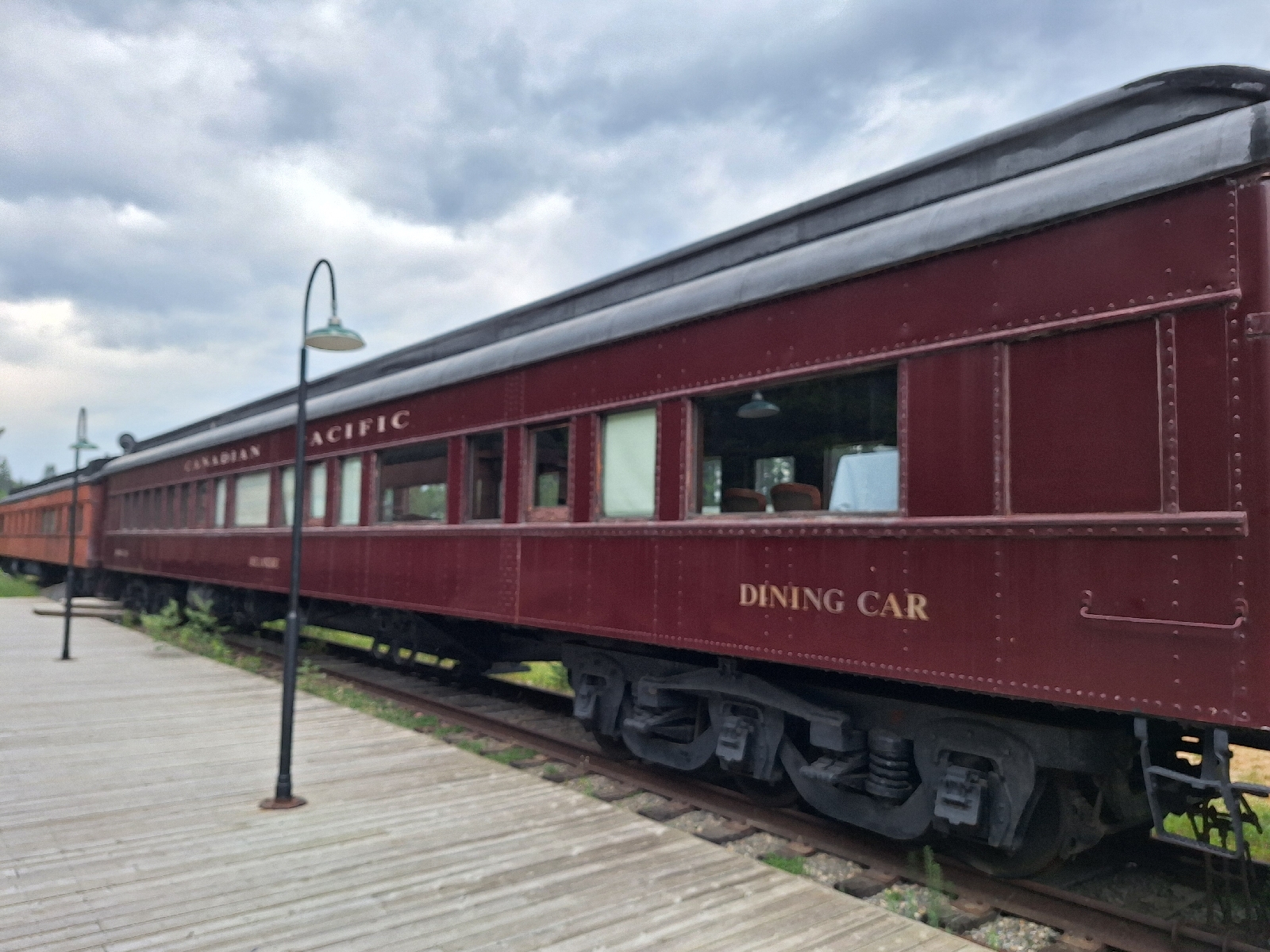
The fancy mountain hotel at Lake Louise was built by the Canadian Pacific Railway to encourage people to ride their trains here. The hotel was connected to the mainline in the village via a tram. Our hopes for a meal at the hotel were dashed by the closed dining room, but coffee and snacks were available. A mile hike further up brought us to a viewpoint high above the lake.

Hiking back down the Louise Brook Trail, we encountered even fewer people than this morning (6). The Canadian Pacific Railway station has been converted to a restaurant where we had dinner. Upon entering, I asked the hostess when the trains go by. "All day, every day" was her reply. 

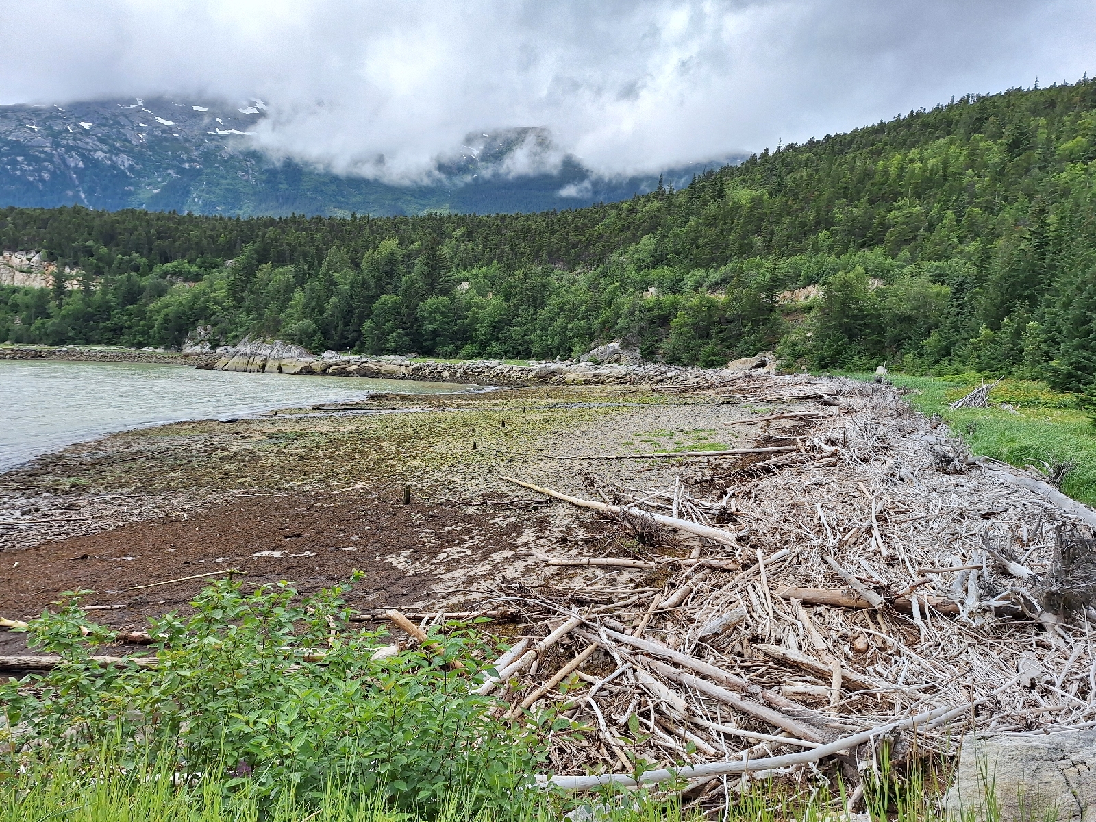
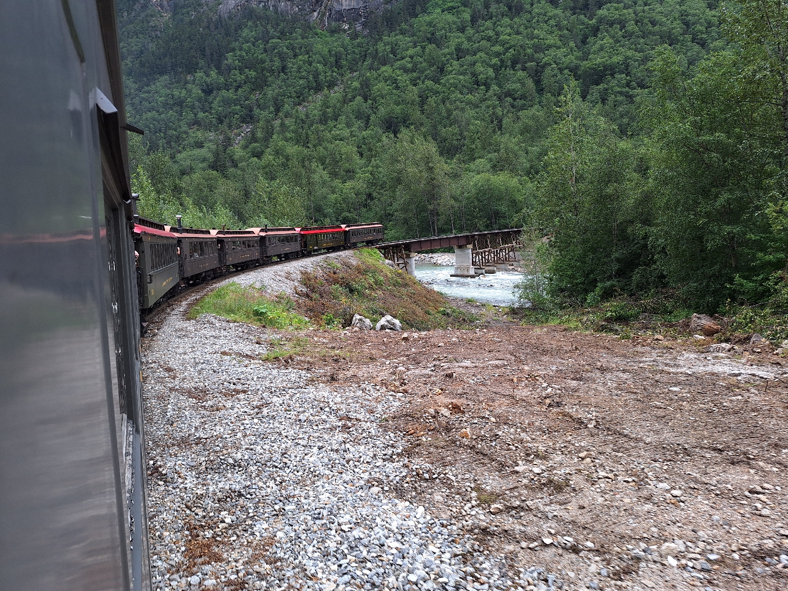
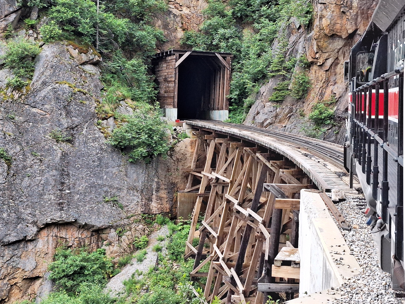
The continental divide at Kicking Horse Pass was less than 10 miles away, so we crossed over BC,  where the waters flow west to the Pacific, rather than into the Atlantic at Hudson Bay (7).

Heading back to Canmore, we opted for the Park's Bow River Parkway, rather than the TransCanada highway. I'm glad we did; a grizzly was on the side of the road chomping on grass and daisies, completely indifferent to the screeching of the long train climbing the pass behind him.

(1) We chatted with a bus driver later about the limited visibility. "This isn't bad, 4 years ago, you couldn't see any of the surrounding mountains for 2 months." He replied.

(2) Parks Canada strongly recommends "advanced planning" to visit the Lake. We had not.

(3) The official park trail map we picked labeled the Louise Brook Trail #3. In a touch of whimsy, the trail maps posted in the woods did not show the Louise Brook Trail at all, and labeled a different trail as #3. Nevertheless, the trail was easy to follow, and the fingerposts accurately guided the way.

(4) From Parks Canada, the local public transit agency, and a wide variety of private concessionaires.

(5) Trying to cross the street at the bus parking lot was a challenge. We were scolded by a park employee for not using the crosswalk, which somehow we were supposed to know the location of, even though it wasn't marked due to construction. She emphatically pointed at the non-existent crosswalk. 

(6) Riding the town shuttle up from town to the parking lot, we chatted with the one other passenger, a local who recommends the short hike to the lake, but says people get mad at him for doing so. Fewer paying passengers on the lake shuttle, I presume.

(7) A Condition of British Columbia joining Canada was the building of railway from Eastern Canada. Many years ago, I read Pierre Berton's Impossible Railway, and remember Kicking Horse pass as being a formidable challenge. From the east, the Bow River Valley to the Pass provides easy grades and seemed anticlimactic. A quick glance at the map, however shows spiralling loops and tunnels on the west side of the pass, suggesting steep grades and challenging terrain. 

Crossing the bow river at the trailhead 
Someone put a hula hoop on the ped xing sign
Following the Louise Brook
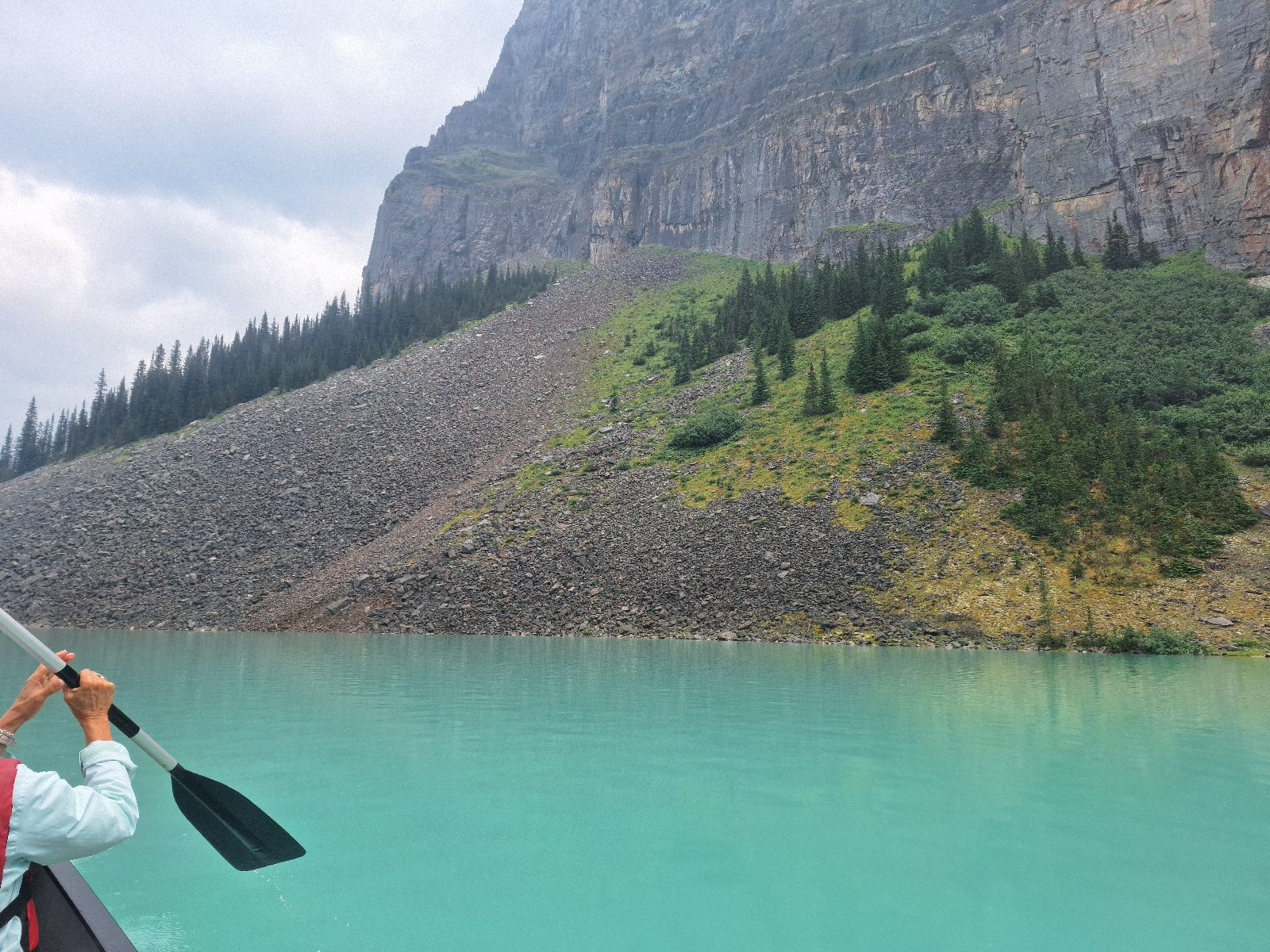
Paddling on the lake
Looking up at the glaciers feeding the Lake
A helicopter made frequent runs to drop supplies at the top of this ridge for rhe Agnes Lake Teahouse
Trail to overlook
Looking down on the Lake
Restaurant at the station
Grizzly on the Bow River Parkway


Dyea and the Southest Alaska State Fair

July 17, 2024

The White Pass Trail starts at Skagway, while the Chilkoot trail starts at nearby Dyea (Die•ee). We set off on e-bikes for the 11 mile ride to Dyea with my daughter as our guide. The pavement soon ended as we would our way up and down along the indented shoreline on a road made worse by the recent rains. Crossing the Taiya River, we came the Dyea sector of the Klondike Gold Rush National Park.

There is virtually nothing left of Dyea. Boasting a population of 4,000 at the height of the Klondike gold rush, the town became irrelevant when the railway opened at Skagway. The town's remains include the pilings for a planned two-mile long dock (1). The disintegrating keel and thwarts of a wooden boat far inland are testimony to the land having risen over 7 feet in a process known as glacial rebound since the last ice age (2). Cycling to the shore, we enjoyed the views out to the Fjord before heading back to town.

Due to the mudslide-induced detour getting to Skagway, our car was still across the water at Haines. It so happened that the Southeast Alaska State Fair was on this weekend at Haines, so my daughter rode the ferry over with us (3) (4). On the fairgrounds are the set from the 1990 movie White Fang. We enjoyed the fine fair food (e.g. fried strawberry-rhubarb pie), while listening to a pretty-good rock band. At 5:00, the Whiskey Dicks came on, playing Celtic and Yukon folk tunes.

Seeing our daughter off at the ferry dock, we headed back to Canada and the long way around to Whitehorse. Along the Chilkat river, there was a small landslide pushed off the road that was not there four days ago.

Driving through the Kluane National Park in the extreme northwest panhandle of BC, we saw the craggy, snow-capped peaks that had been obscured by fog on our drive through the other day. East of Haines Junction, we stopped for a small herd of antelope on the road in the dim light here in the high northern latitudes at 10:30 pm.

(1) The water in the harbor here is much shallower than at Skagway, and the tidal range is 27 feet, hence the need for a long dock.

(2) The weight of the glaciers had depressed the land during the last ice age. As they receded, the land rebounded, a process that continues at a rate of about an inch a year.

(3) There is also a fish store in Haines, which Skagway lacks. 

(4) Many of the other passengers on the afternoon passenger ferry were seasonal Skagway residents looking for something different to do.

What the town looked like in 1898
On the ride back
Leaving Skagwat, bound for Haines
Set of White Fang
The Whiskey Dicks
Last view from Haines
Glacier in BC
At Haines Junction


Canmore in the Canadian Rockies

July 27, 2024

The initial plan upon leaving Whitehorse was to get off the plane at Edmonton, spend the night at Jasper in the rockies, drive down the glacier parkway to Banff, then catch our flight home to Boston. However, wildfires in Jasper National Patk head reached the town of Jasper yesterday, burning down much of the town. Our flight on Air North (Yukon's Airline) continued on to Calgary, and they accommodated our request to proceed there without much fuss.

Driving west, the Rockies began abruptly and we followed the gentle Bow River Valley to Canmore. We found a hike up a ridge on the east side of the valley. Excellent view to effort ratio on the 4-mile loop hike up the Tibbets Quarry trail. The rivers, streams and any other watercourse encountered were completely dry.


Sunday, July 28, 2024

A bike tour in Skagway

July 26, 2024

A bike tour today showed us around town. Our guide took us first to the mouth of the Skagway River and the end of the runway of the small airport (1). Skagway's year round population us about 1,000, growing to 2,500 during cruise season. Up to five cruise ships cannni..  call here in a single day, disgorging up to 12,000+ people into the town... ..
.n
When gold was found at Bonanza Creek in the Klondike (2) in 1896, the most logical route from prospectors was by ship to Skagway, climb to the pass, then fashion a boat to take you downstream on the Yukon River (3). There were two routes to the pass: the shorter, steeper Chilkoot Trail, or the longer, less steep White Pass Trail (4). The Chilkoot trail is still a hiking trail passing into Canada  although recently blocked by a landslide. The route of the White Pass Trail was largely taken over by the eponymous railway in 1902. 

Many of the early prospectors were ill-prepared for the ardors of life in the Klondike, so the Yukon authorities (5) decided to require all prospectors to have all good necessary to survive a year in the Klondike, which weighed in at 2,000 pounds. Prospectors could make multiple journeys to the pass (hoping their goods were still there when they returned), or hire porters to help with the carrying (6). A cableway was constructed to assist for a period of time. 

Eventually, the railway to the White Pass summit was opened in 1900, by which time the gold rush was over, with many prospectors chasing a more recent find at Nome, Alaska. There was sufficient traffic of orher minerals from the Yukon for the railway to be a going concern until 1982. The trains returned as a tourist attraction a few years later.

The next stop was to pan for gold at a shop in town. A few tiny flecks were the result of a fair bit of effort. The prospectors must have had a lot of patience. 

At the north end of town, through the railyard, lies the gondola rush cemetery. Our guide regaled us with the story of "Soapie" Smith and Frank Reid. Smith was a con artist and gambler, nicknamed "soapie" because he convinced people in Denver to pay exorbitant prices for a bar of soap that "might" be wrapped in a high-demomination bill (found by earlier buyers who were Smith's confederates) (7).

Bilking a prospector out of $2,700 was a final straw for the town, which organized a vigilance committee at a dock in town. When Smith approached the meeting, he was shot by Frank Reid, whom Smith simultaneously. Smith died on the spot, with Reid following 12 days later from his mortal wound. Smith is buried just outsude the cemetery, while Reid has a large stone memorial, honoring him for protecting the reputation of the town. Reid is also honored with the creek and nearby falls bearing his name.

For the final tour stop, we climbed a hill east of town for a virw if the city. I was glad the bike had an electric motor assist.

During the afternoon, we climbed back up the Lower Dewey Lake, then followed the train to the right to Icy Lake and Upper Reid Falls. A lot of effort without much payoff. On the way back, I had an Alaska baptism by full immersion in Lower Dewey Lake; bracing.

(1) A company called Alaska seaplanes flies here, even though the airport is on land.

(2) At the confluence of the Yukon and Klondikes rivers, Dawson City developed. Reaching a population of 17,000 during the gold rush, the town is home to less than 1,600 people today.

(3) The headwaters of the Yukon River, flowing into the Arctic Ocean, are only about 30 miles from the Pacific at Skagway.

(4) A particularly treacherous spot on the trail is known as dead horse gulch. Horses cannot see their own feet, so many tumbled to their death. This is why mules are used at the Grand Canyon.

(5) Yukon Territory was separated from Canada's Norrhwest Territories in 1898 in response to the gold rush.

(6) The native Tinglit even formed a sort of labor union to oversee that portage trade.

(7) I remember learning about Soapie Smith a few years ago in Denver.

Snow plow at railhead in Skagway 
"Soapie" Smith's headstone
Lower Reid Falls 
View of Skagway from final stop on the bike tour
Icy Lake
Upper Reid Falls

Narrow-guage train to White Pass

July 25, 2024

On a ridge east about 600 feet above  Skagway lies lower Dewey Lake. The climb up from town is popular with cruise passengers visiting Skagway. The loop around the lake goes up and down, leading to a swimming spot, where the town has left a canoe and kayak for the public to enjoy. The 3.5 mile hike was a great way to spend our first morning in Alaska.

Skagway was the gateway to the Klondike for prospectors during the gold rush of 1897 to 1900. A railway was built ftom the port at Skagway up to the headwaters of the Yukon River at White Pass. Built in 2 years, 2 months, and 2 days, the three-foot guage railway opened in 1902. 

The railway climbs 2,888 feet to White Pass in about 20 miles, and the tracks continue into BC and the Yukon Territory. To make the climb, the tracks hug the valley walls, crossing the river multiple times. 

At the summit is the US/Canada border marker (1), followed shortly by the weigh station the Northwest Mounted Police used to ensure all prospectors had sufficient supplies for at least a year (2).

(1) No immigration procedures; the officials know the train will soon turn around and return to Skagway (a).

(a) Some trains continue further into Canada, but these have been disrupted by the mudslide also.

(2) The BC/American border was ill-defined at the time of the gold rush, accounting for the different placement of the border marker and the weigh station.  The original 1825 Treaty of Saint Peterburg, between the Russian (b) and British Empires, was signed by people whose knowledge of the region's geography was sketchy at best. The boundary line on the Alaska panhandle agreed was the high point of the mountains running parallel to the coast, unless the high point was more than 10 leagues from the coast (about 35 miles), in which case the border would run 10 leagues from the coast (c) (d). The US and Canadian/British governments agreed to an arbitration panel in 1903, which demarkated the current borders 

(b) Russia sold its interest in Alaska (i) to the US in 1867, in what at the time was called Seward's Folly, after the Secreraty of State who purchased the presumably worthless tundra.

(i) The native word for the place was transliteration into Russian as 

(c) The Northwest Mounted Police sent officers to Skagway at the start of the hold rush. They argued that "the coast" should not include narrow inlets and therfore Skagway was British territory. They were soon expelled by American prospectors.

(d) Near Skagway, the height of land is close to the coast, and the boundary is therefore at the height of land, White's Pass. Near Haines, the height of land (Haines Highway Summit in BC) is about 55 miles inland, so the border here is 35 miles (as the crow flies, about 40 miles by road) from the tidewater at Haines.

Walking through Skagway
Lower Dewey Lake
Fireweed. When the top flowers opens, it's 6 week until the first snow
North end of the lake
Near the trailhead 
Boarding at Skagway
First crossing of the Skagway River at Denver 
Down train on siding 
Second river crossing 
Approaching trestle
Almost in the clouds 
View down to White Pass trail 
"Ghost bridge." The railway was realigned in 1969
Into Canada, but not for long
Weighing station for prospectors 
Distant view to Skagway
Crossing the trestle 
View across the valley. The brushy areas had landslides more recently than the areas with trees.
The trestle far above 
Old caboose, now a hikers' shelter at Denver flag stop