Low clouds this morning as the car began the ascent up to Parc Nacional Teide, home of Spain's highest peak: Mount Teide, at 3,718 meters (a little over 12,000 feet). At about 2,000 feet, I drove into the clouds and rain, and the trees changed from palms to tall pines. At about 4,000 feet, the sun shone again, and the clouds were now down below.
Lookout spots soon afforded spectacular views of Volcanic Mount Teide above the clouds. The mountain had the classic cone shape; if you asked a child to draw a volcano, it would look like Teide. Looking to the east the peaks of Gran Canaria were visible across the sea (of water and clouds), as were the heights of La Palma (1) to the west.
The next milestone was the tree line at about 6,000 feet and the Azuña Atmospheric Observatory. The 8 foot poles marking the road for snow plows begin at the tree line, although there was no snow today, and temperatures were mild: in the mid teens Celsius (about mid 50s F). Today is Saturday with ideal weather, so the whole Park was busy with locals (many riding up on bicycles) and tourists from the south of the Island (2).
The Teide cable car base station is at 2,358 meters (about 7,700 feet), but the timed tickets were sold out for the day (3). I lingered to acclimatize to the altitude for a little while (and to get some caffeine in the form of a very tasty Cafe Con Leche).
A short drive south is the trailhead for Los Roques (the rocks) de Garcia. Climbing on the well-marked trail, I soon realized that the distinctive rock formations marked the rim of an absolutely enormous caldera and pondered how much energy had been released when the volcano blew and formed the caldera.
After a couple of kilometers, the return of my altitude headache told me it was time to head back down. On the descent, a pair of Irishmen (4) passed me, rushing to catch the last bus down to the south coast. I told them to find me if they missed the bus as I was heading to the town of Los Cristianos and they were also.
At the crowded café, I was joined by four hikers from Belgium. They asked why I had come to Tenerife (few Americans come to the Canaries). I told him because I found a round trip flight for $350 ftom Boston. He seemed to think that was a good reason.
On the descent, some cyclists almost kept pace with the car which was doing between 60 and 70 kph (about 36 to 43 mph) (5). The cloud cover was still there from about 4,000 feet down to 2,000 feet. Emerging below the clouds revealed glimpses of the sun on the sea, with La Gomera Island (6) looming to the southwest.
At dinner, the owner sat down at a nearby table and gave a big yawn. He motioned to another nearby restaurant to point out the sound of a lounge singer crooning worn-out hits from the 1970s and 1980s. With a smile he pulled ear plugs from his pocket and offered them to me in jest: "20 euros" he quipped.
(1) The island of La Palma is not to be confused with Las Palmas, the largest city on Gran Canaria, as some travelers flying to, or with hotel reservations in, the wrong place are said to do.
(2) While tourism is a Mainstay of the Tenerife economy, the tourists appear to stay mainly in the south on the dryer side of the island. To my surprise, I heard almost no English spoken on the north side of the island which appears to have a more diversified economy including an oil refinery in Santa Cruz.
(3) Probably just as well, as I do not do well at elevation, and being whisked up to almost 12,000 feet would probably have exacerbated the mild altitude headache I was already experiencing.
(4) Like almost everyone from Ireland I've encountered, they have relatives in the Boston area, seeming to know Eastern Massachusetts better than the natives: "My cousins on my father's side live in Marblehead, near to Salem."
(5) My record bicycle speed is 44 mph, which I am not in a hurry to repeat.
(6) La Gomera was the last Port of Call for Christopher Columbus before he set out across the Atlantic in 1492.

Above the clouds and tree line


First views of Teide

Azuña Atmospheric Observatory

Teide, view from the South (Note the tall pole to guide the snowplows, but not today)


Los roques de Garcia

A Bertholot' s Pipit sharing my path


Views of the Caldera


Views to Los Roques de Garcia from the other side of the Caldera
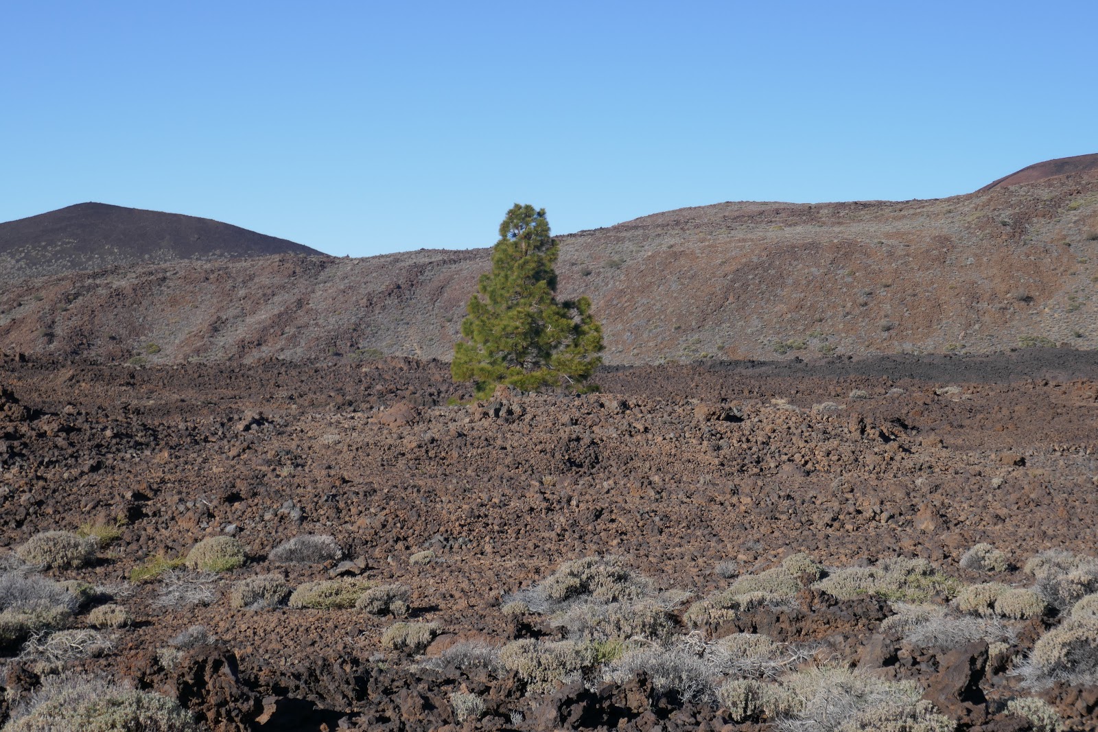
Hardy pine alone at about 6,000 feet

Top of the clouds on descent

Descending into the clouds. The peaks of the Island of La Palma are visible in the distance

Breaking through underneath the clouds

Glimpses of sunset, Los Cristianos
No comments:
Post a Comment